Smart tech fueling the speed of global change
Geodata enables us to better understand any given location in the world, and when combined with attributes ranging from elevation, social demographic, objects on the ground and historical data, we can not only identify change, but understand it.
June 8, 2018

Telecoms.com periodically invites third parties to share their views on the industry’s most pressing issues. In this piece Ryan Hamilton, Geodata Product Manager, DigitalGlobe looks at the role geodata will play in IoT.
The world just became that little bit smaller as we strive for faster and more efficient connectivity. If you don’t already have some form of connected tech, then I guarantee you that some clever marketing person is working on some campaign to getting you signed up.
Technology is an enabler, and like most things our need to be connected on-demand is fueling the growth of both solutions being offered and the technology required to service this capability. Televisions, smart phones, wearable tech, cloud, broadband, transportation, communication, VR, AR; the list goes on, with these developments impacting the way we live our lives in new and increasing ways.
The use and adoption of the internet and social media in the past decade produced an enormous shift in the way people communicate both with each other, their environment, and the rest of the world. Speed, convenience, and efficiencies continue to drive the adoption of new services with “IOT fast” becoming the new buzz word as the worlds of communication and connected devices merge.
But as with everything that is connected, the infrastructure behind the technology needs to adapt to both advancements in capability and the environments it intends on servicing.
Our planet is dynamic; the environment, people, culture and adoption to change varies depending on both controllable and natural evolution. One way to understand, plan for, and predict this change is through the use of geodata.
Geodata enables us to better understand any given location in the world, and when combined with attributes ranging from elevation, social demographic, objects on the ground and historical data, we can not only identify change, but understand it. Fueled by consumer demand for mobile broadband, new IoT devices, and evolving data service technologies, RF engineers are under pressure to optimize networks for 5G rollouts while maintaining service. Considering the challenges of small cell networks (e.g., high frequency spectrum vulnerabilities) and perpetual population density growth, engineers need a more efficient, accurate way to plan. Having this information enables technology to be better deployed to service the changing requirements of this planet, its people and other stakeholders across the value chain.

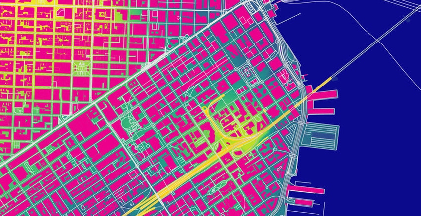
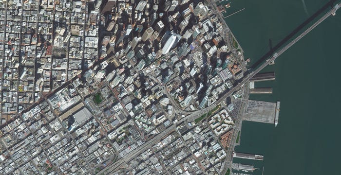
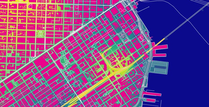
Satellite image of San Francisco, California, captured by DigitalGlobe’s WorldView-3 on February 8, 2018, compared to high-resolution clutter data of the same area.

Read more about:
DiscussionAbout the Author(s)
You May Also Like


.png?width=300&auto=webp&quality=80&disable=upscale)


_1.jpg?width=300&auto=webp&quality=80&disable=upscale)


.png?width=800&auto=webp&quality=80&disable=upscale)